About
Why I built this. Decades of work have happened in ACG: caterpillars reared by the hundreds of thousands, forests followed as they regrow from pasture, sea turtles, monkeys, volcanoes, reefs. But the results are scattered across hundreds of journals, theses and data repositories. I wanted one place where anyone (a student in Liberia, a parataxonomist, a visiting researcher, or me before starting a new project) can see what has been done here and find the data behind it.
What it is, and what it isn’t. The ACG Atlas is an index, not a repository. It has two parts, each you can search separately but built the same way: data (datasets in permanent archives) and publications (papers about research done in ACG). Every entry has a link to its original and with its own DOI, license and citation. It complements ACG’s own information systems; it does not replace them.
How datasets get here. Every week the site searches DataCite (which covers Dryad, Zenodo, EDI, Figshare, PANGAEA and more) and GBIF (by the ACG boundary), and researchers can add their own on the Contribute page. I review every entry before it appears.
How papers get here. I searched OpenAlex for ACG place names, then read titles and abstracts. A paper is included if the research was done in ACG (any sector, including the marine one), uses ACG specimens or data, or is mainly about ACG. Records come from OpenAlex (CC0) or Crossref. New papers are found automatically each week, and you can suggest any I missed. The full search strategy is on GitHub.
Mistakes happen. With more than a thousand entries tagged partly by rules and partly by hand, some will be wrong or missing. If you spot one, please tell me through the Contribute page or a GitHub issue.
Credit. Each dataset and paper belongs to its authors; please cite the original work, using its DOI. The ACG boundary layer is courtesy of SIG-ACG (Waldy Medina), CC BY 4.0. Map tiles come from the GBIF maps API and Esri.
Open by design. All code and curation decisions are public at github.com/acg-atlas.
ACG through the seasons
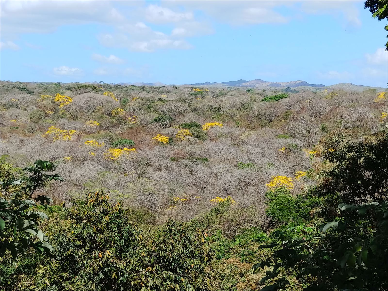
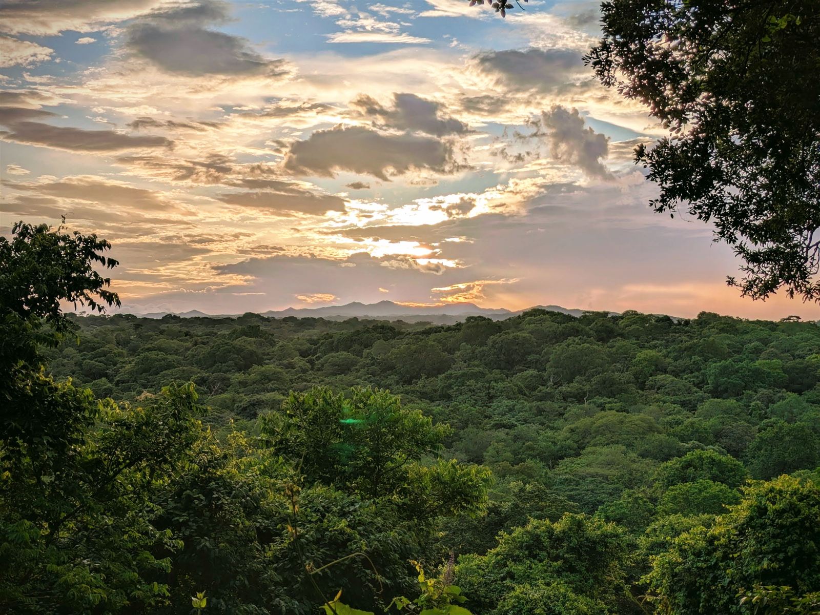
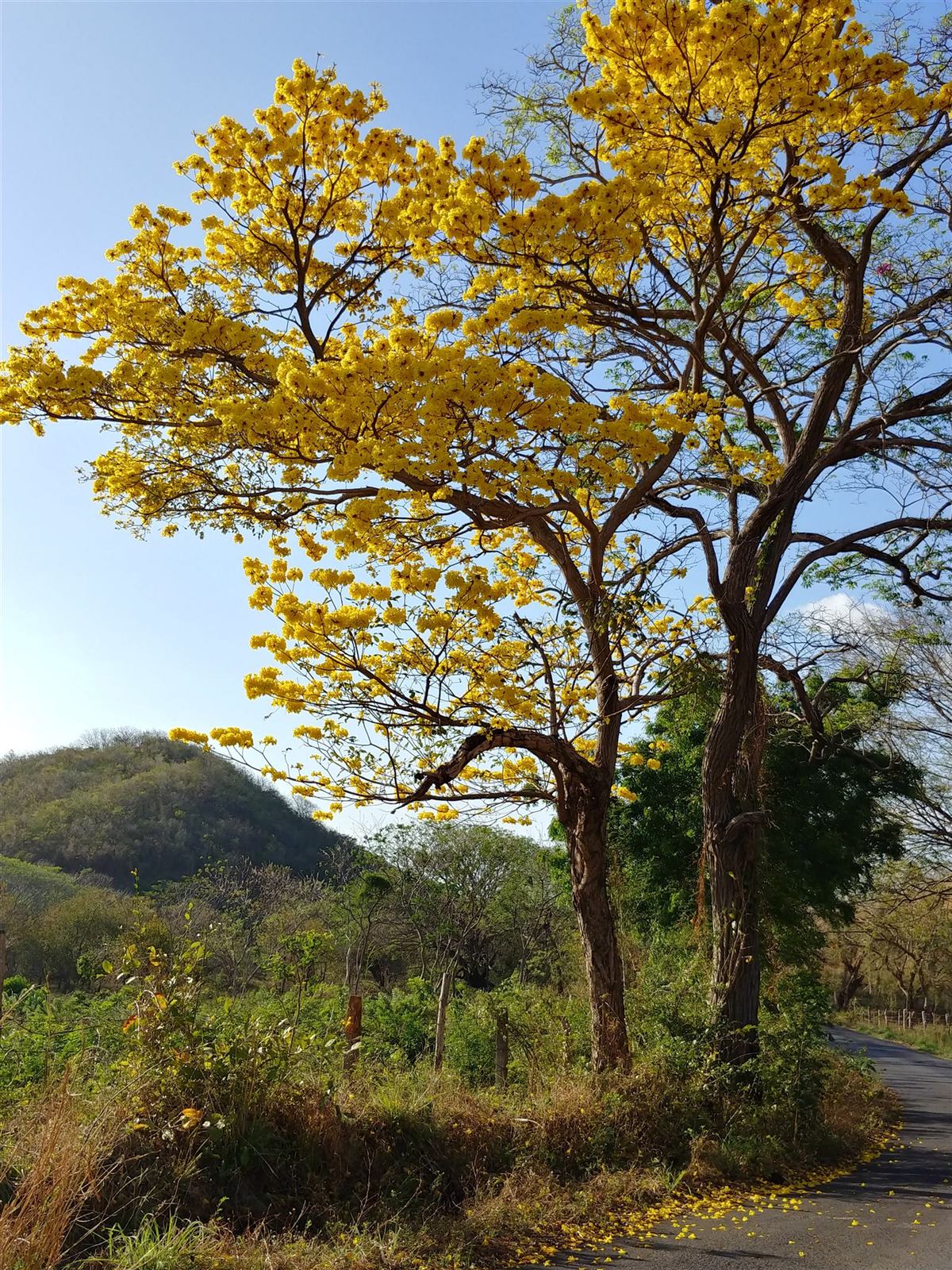
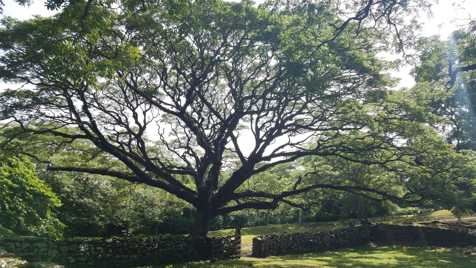
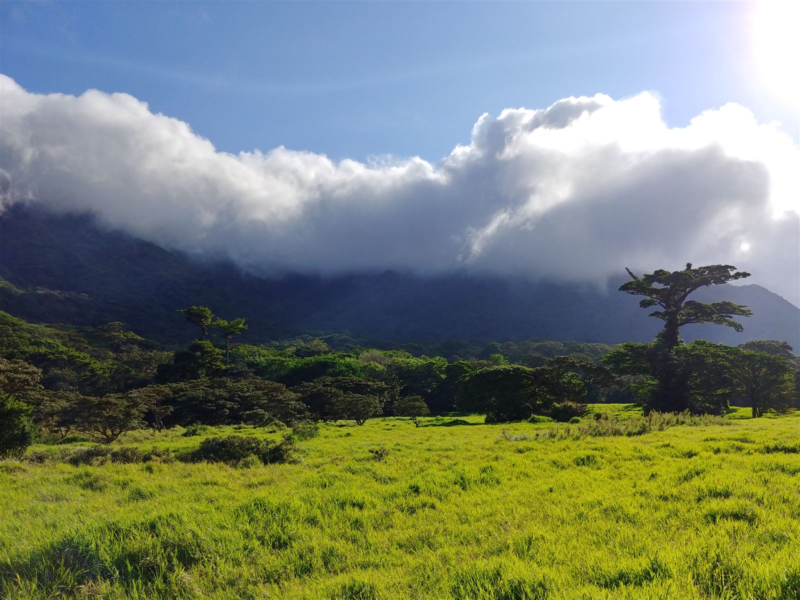
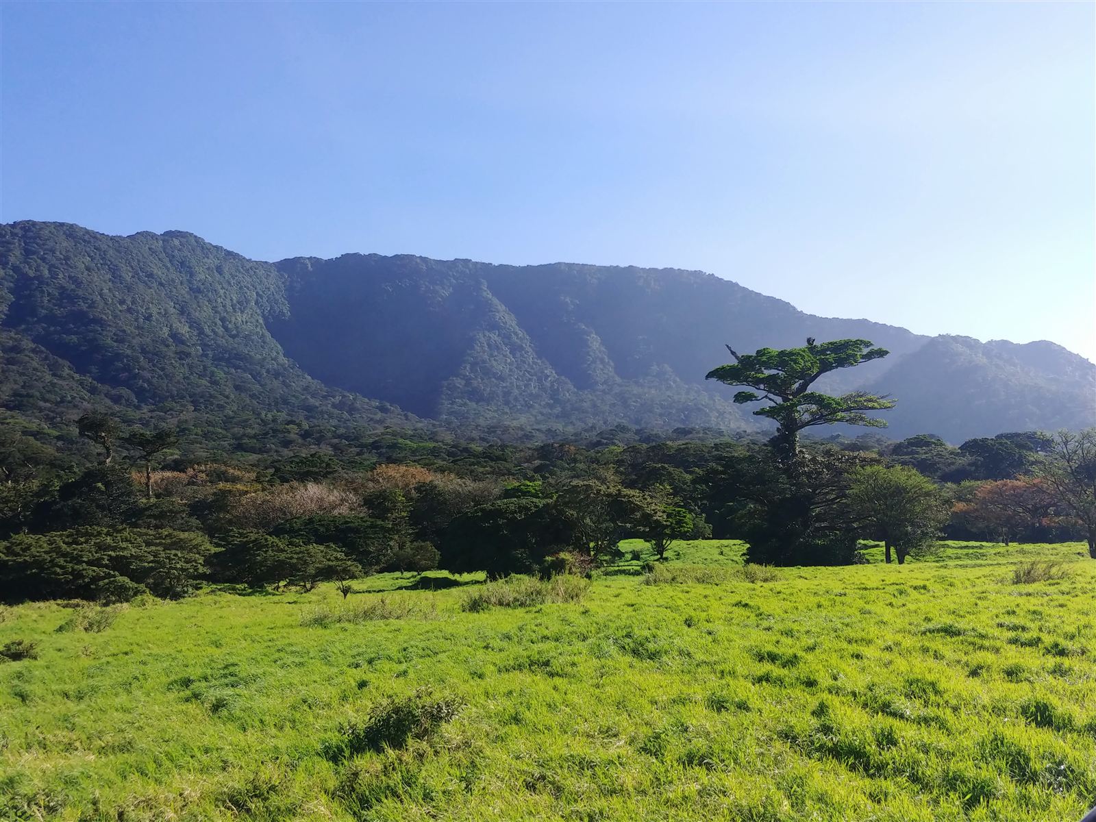
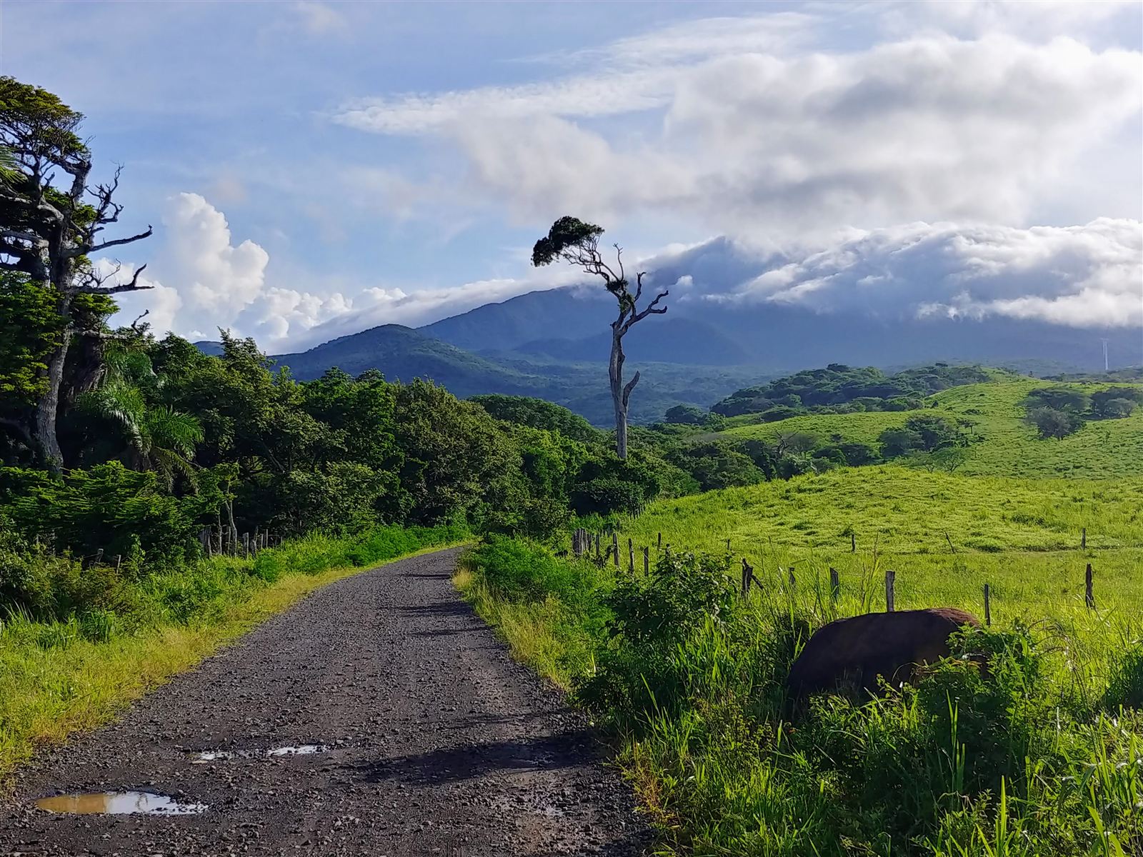
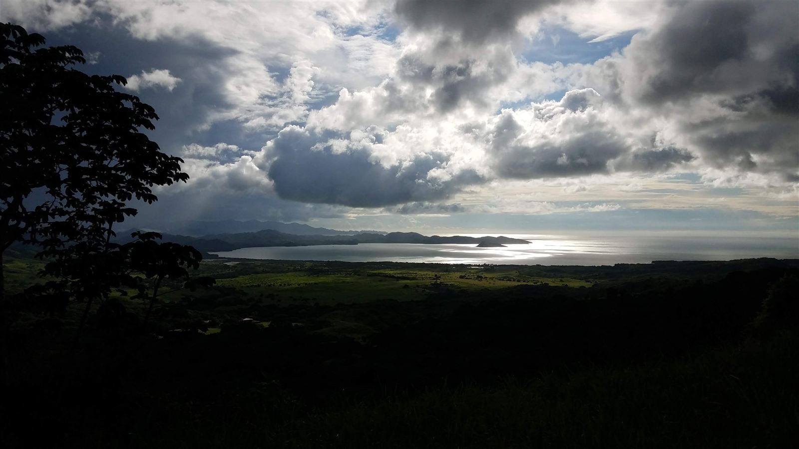
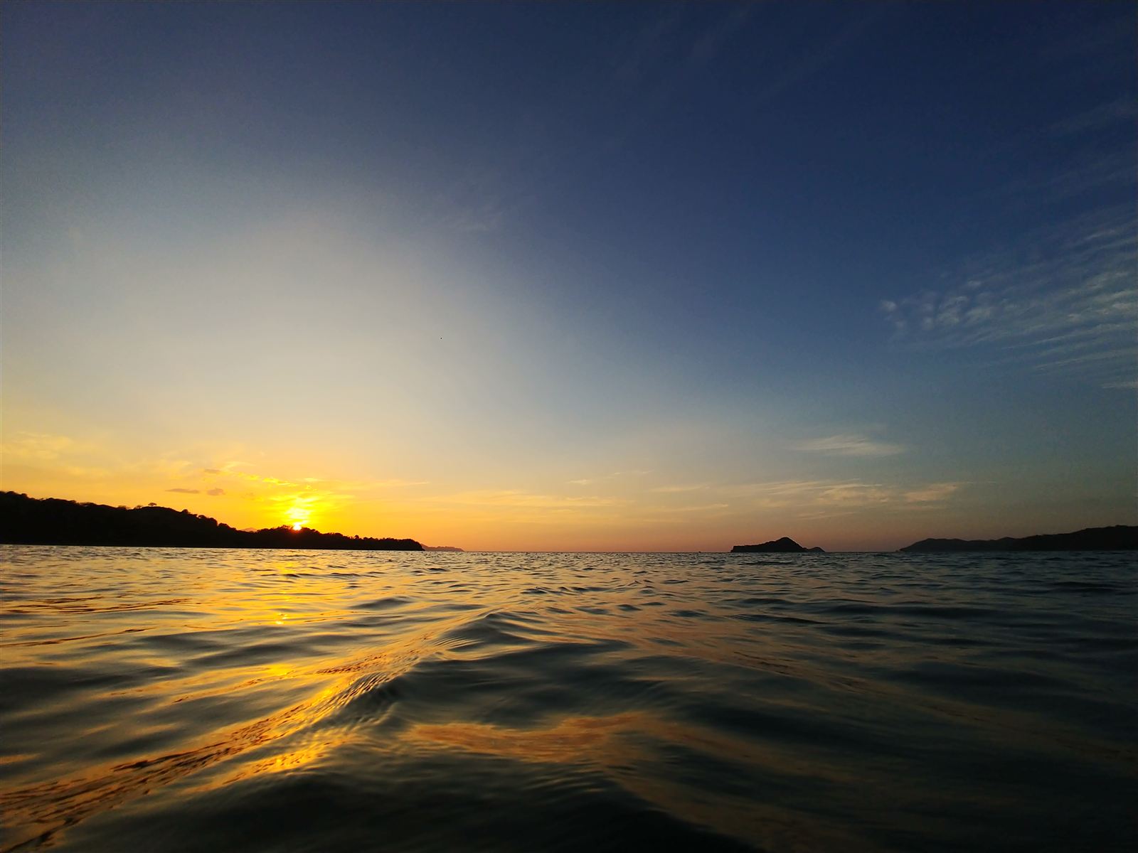
Photos © Catherine Hulshof. Please ask before reusing them.